The trails shown in these maps and .gpx files were plotted in the winter and spring of 2009, and the fall and winter of 2009-10. With the exception of a few trails immediately behind the Prettyboy Watershed headquarters at the corner of Spooks Hill and Prettyboy Dam Roads, ALL of these trails were hiked on foot and recorded on a DeLorme PN-20 GPS receiver.
The “legal” mountain bike routes are correct as of the end of 2009. Currently, a task force is working on plan to expand bike routes in the watersheds, so this may change — hopefully with the addition of more trails — in the near future.
The GPS tracks recorded in these maps and .gpx files were checked for accuracy against U. S. Geological Survey 7.5-minute topographic maps and, for the most part, appear to be quite accurate. However, satellite signals were sometimes lost while hiking the trails at the bottoms of the gorges, and some manual tweaking had to be done. Use these maps with a dose of caution and common sense.
The .gpx files were created for the benefit of those who wish to load the routes into a handheld GPS receiver or overlay them on a map. However, before you can do this, you probably will have to convert them to a format compatible with your device and/or software. A useful free software tool for this purpose is GPS Babel, which translates any GIS format into any other GIS format.
To view or download a map or .gpx file, just position your mouse pointer over the file name and click the left mouse button:
- Loch Raven trail map
- Prettyboy Trail map
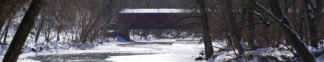
- Hereford Area trail map
- .gpx file of Loch Raven bike route
- .gpx file Prettyboy bike route
- .gpx file of Prettyboy Trail (hiking)
Enjoy!
My brother and I hiked the Prettyboy Trails in the late 1970s -1990s to discover “secret” fishing spots. There were no GPS then, and we hand drew the trails on a Prettyboy Resevoir map and took pictures.
It is nice to see someone taking such an interest now.
Excellent job.
Great maps! Sharing your website with friends.
Biking is illegal at all Maryland reservoirs.